|
Width: 400 Height: 400 Extent:
YMin: 3367881.8311364204 XMax: 1.2270743978486015E7 YMax: 3508263.8311364204 Spatial Reference: 102747 (2284) LatestVCSWkid(0) Scale: 0.0 |
| ArcGIS REST Services Directory | Login | Get Token |
| Home > services > Flooding > FD10SLR3 (ImageServer) > exportImage | API Reference |
|
|
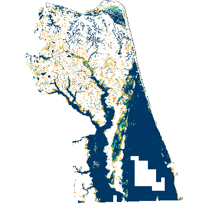
Width: 400 Height: 400 Extent:
YMin: 3367881.8311364204 XMax: 1.2270743978486015E7 YMax: 3508263.8311364204 Spatial Reference: 102747 (2284) LatestVCSWkid(0) Scale: 0.0 |